cOrtho
Description
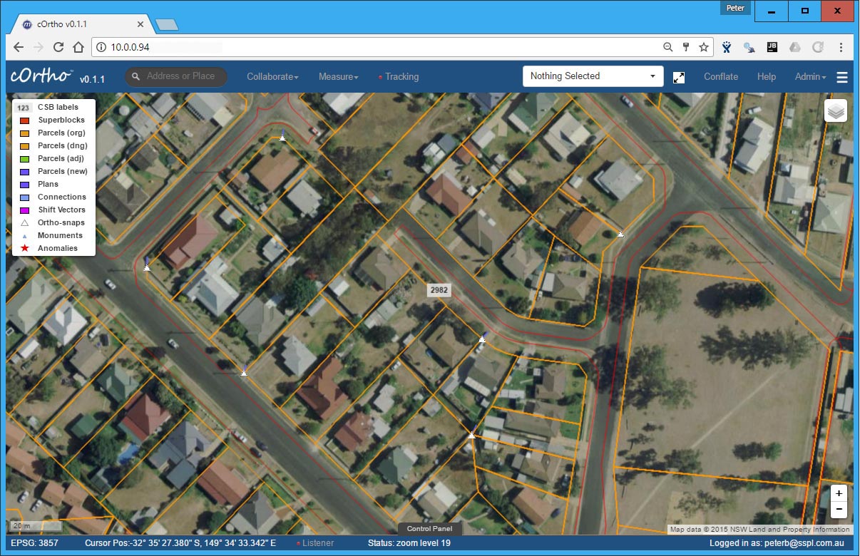
Our easy to use snap-vector placement tool allows you to quickly move your digital cadastre or utilities into a common registration against ortho rectified aerial imagery. Simply identify unambiguous common points between the image data details and the mapping base and our software will do the rest for you.
Features
- Easy to use snap vector operations
- Add or delete
- Perform adjustment
- Confirm and submit for approval
- Collaboration
- Setup to systematically cover a region
Additional Screens


