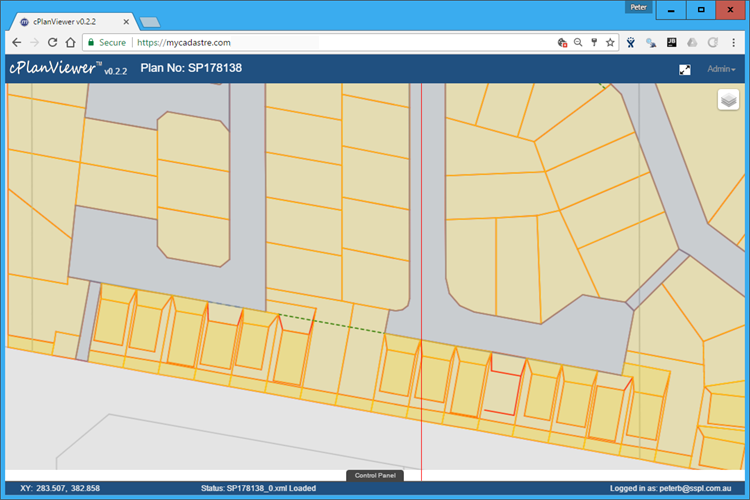
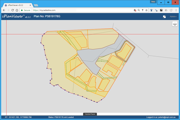
cPlanViewer
Description
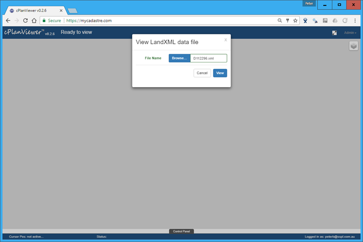
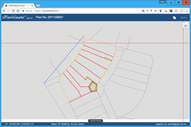
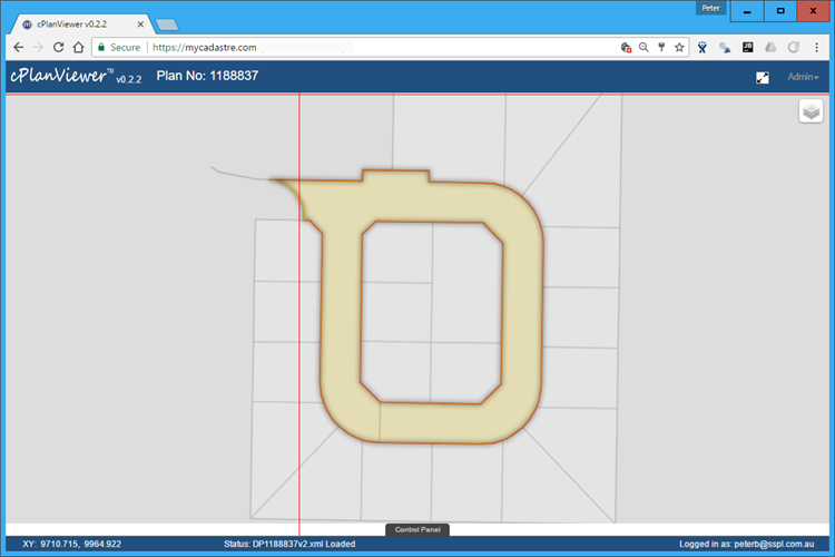
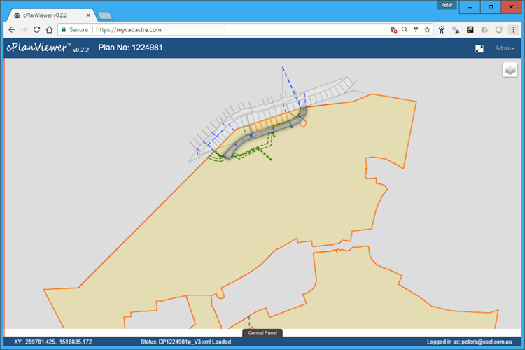
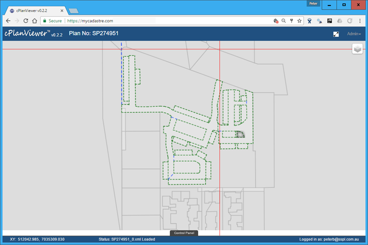
Our landXML viewing application has been written with
extensibility in mind. It is designed to read raw LandXML files
for quality control and viewing purposes. At its simplest,
it is a local file viewer. However, when used in conjunction
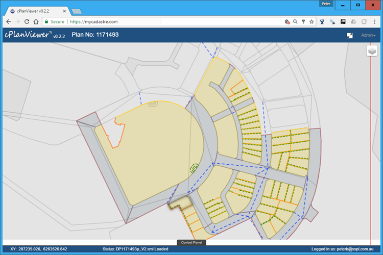
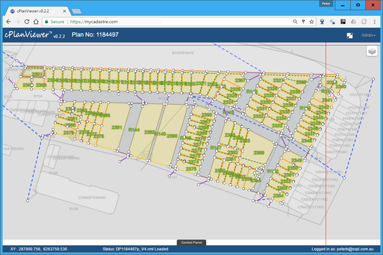
with the original plan document, a user can perform a plan
registration action such that they can view the landXML data
overlaid within the context of the survey plan.
It currently supports the LandXML 'recipe' as defined by Queensland,
New South Wales and Victoria. However, we are not limited to LandXML
as the file data is parsed into our own data structures that represent
the survey data.
We would be delighted to discuss other data formats with you.
Features
- Fast parsing of LandXML data files
- Support for Qld, Nsw, Vic variants
- Display meta, control and monument data
- Tabular breakdown of all measurements
- Search and highlight any element
- Parcel consistency checking
- Can be used as a QA check
- Display parcel and easement attributes
Additional Screens


