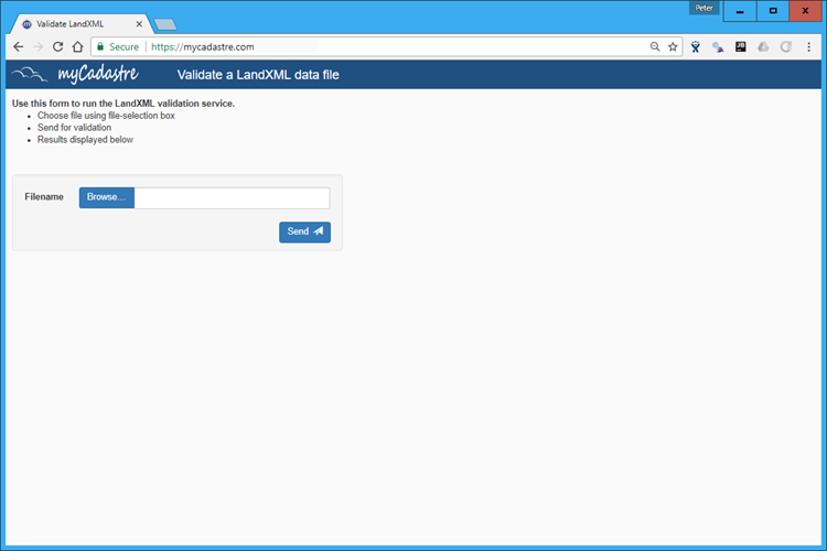
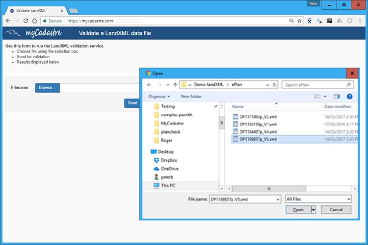
LandXML validation service
Description
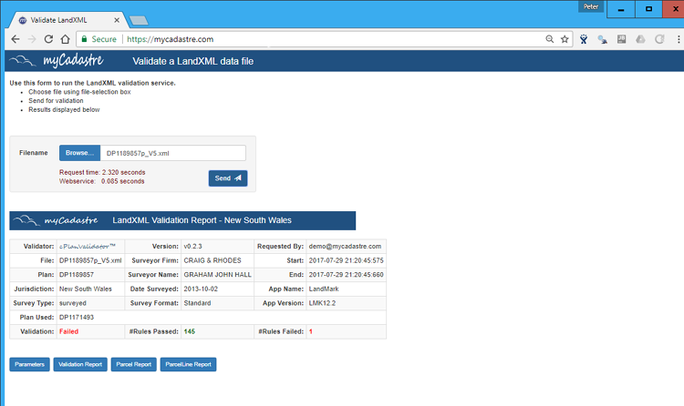
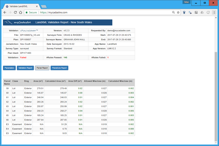
Our landXML validation service provides an endpoint to allow a user to send in a LandXML file for preliminary checking. The webservice checks the various elements of the LandXML file for both correct formation (in the context of an XML packet) and also for intra file dependencies and geometry checks. The validator has been designed with modularity and extensibility in mind as it must eventually provide checks against several jurisdictional 'recipes'. Use of the validation service prior to file submission ensures that any submitted plan data is already in an acceptable form and will reduce plan requisition prior to next stage processing.
Features
- Fast parsing of LandXML data files
- Extensive rules base
- Currently supports NSW 'recipe'
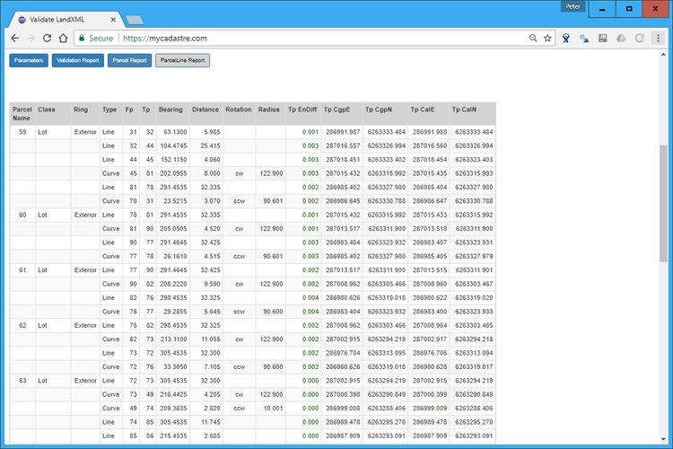
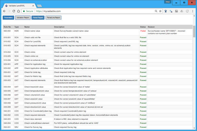
- Tabular presentation of all rules executed
- Failured rules clearly enumerated
- Easily extended to lookup and check against your Survey Control database or other datasets (e.g. Surveyor accreditation, registration and currency etc).